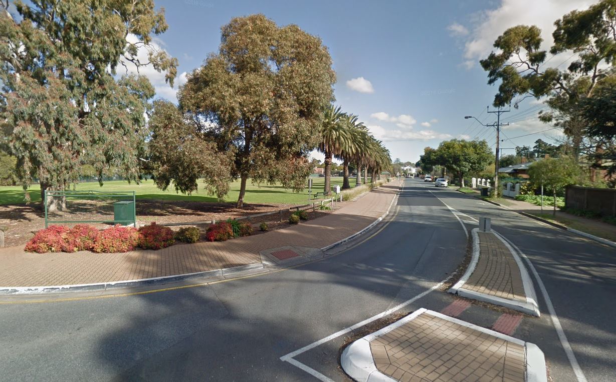
Vale Street
Vale Park
After the survey and division of the land outside the City of Adelaide by Colonel William Light and his survey team, country sections were made available for settlement.
The 1839 Arrowsmith Map of Colonel Light's survey of the area close to Adelaide, particularly along the River Torrens, indicated that there were six of these early sections, which made up modern Walkerville. All but one of these fronted the River Torrens, which made them attractive sections for selection by original selectors, one of whom was Governor Hindmarsh and another George Fife Angas. Initially, these sections were used for agriculture and market gardening, but the central section of 476 was soon sold to be subdivided in 1838-1839 into a village, now known as Walkerville. The northern sections 478 and 479 remained as agricultural land until well into the 1960s when Vale Park began to be subdivided as a residential area.

Suburban growth in Walkerville took place in the period of the creation of the area as a residential suburb and a full range of dwelling types from small attached cottages through to large mansions, were constructed during this time.
Consolidation of settlement in the town of Walkerville took place from 1915 onwards. By 1920, most of the land, apart from the rural sections of Vale Park to the north, were already built on.
The suburbs within Walkerville are clearly delineated by the ongoing subdivisions of the original early sections and the character of Walkerville as a predominantly residential area was set from the first stages of subdivision.
Through the 1840s and 1850s, the well watered sections along the River Torrens maintained some elements of farming and market gardening, and apparently some early vineyards. However, the use of the land along the northern side of the river as agricultural land was generally not as significant as the agricultural and horticultural activities on the flatter flood plain south side of the river in Payneham.
The close location to the city and the links with public transport ensured that Walkerville soon became a growing suburb and there was considerable pressure on any agricultural activities, particularly in the 1860s and 1870s. The only areas which remained agricultural into the twentieth century were the northern sections, which now make up Vale Park. Most of the area had been subdivided and auctioned from 1882 onwards.
